Directions to Acadia
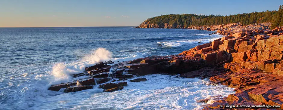
Acadia National Park is located along the rocky coast of what is called “Downeast” Maine. Most of the park is on Mount Desert Island and connected to the mainland via two short bridges. The first bridge crosses to Thompson Island where there is a park picnic area and an information center. The second bridge connects Thompson Island to mainland Maine. Acadia National Park on Mount Desert Island is approximately a six hour drive from Boston. (local towns & villages)
By Automobile:
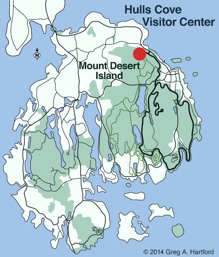
- Visitor Center GPS Coordinates: Latitude 44.409286; Longitude -68.247501
- Sand Beach Entrance Station GPS: Latitude 44.338797; Longitude -68.183168
- Bar Harbor Town Pier GPS: Latitude 44.392087; Longitude -68.204052
- From Boston take I-95 north to Augusta, Maine, then take Route 3 east to Ellsworth and continue on to Mount Desert Island.
- For an alternate route, continue on I-95 north to Exit 182A in Bangor, Maine. Take I-395 to Route 1A East to Ellsworth. In Ellsworth, take Route 3 to Mount Desert Island.
Travel Distance from Cities:
| Location | Miles | Hours |
|---|---|---|
| Bangor, Maine | 50 | 1 |
| Portland, Maine | 161 | 3.5 |
| Kittery, Maine | 211 | 4.5 |
| Boston, Massachusetts | 264 | 6 |
| New York, New York | 492 | 10 |
| Saint John, New Brunswick | 227 | 5 |
| Montreal, Quebec | 424 | 8 |
| Halifax, Nova Scotia | 500 | 10 |
By Plane:
Direct flights from Boston's Logan Airport land at the Hancock County Airport, located 10 miles from Acadia National Park in Trenton. National airlines serve the Bangor International Airport which is about one hour from the park. Car rentals are available at both airports.
National Park Service
Acadia National Park, P.O. Box 177, Bar Harbor, ME 04609
Phone:
(207) 288-3338 or Email: acadia_information@nps.gov
Weddings: Visit the weddings section for information about having a wedding ceremony within Acadia National Park or elsewhere on MDI or nearby villages and towns.
Acadia and GPS
Much has changed since GPS was introduced to the public. It is now easier than ever to find one’s way if we have access to a GPS device, especially one with a larger screen that shows roads and gives directions audibly. However, keep in mind that while in Acadia National Park, especially while on Mount Desert Island, sometimes a good satellite connection is spotty due to the many mountains in close proximity. It is always good to get a good basic understanding as to the terrain layout using a standard map, and to methods of determining North, South, East, West directions.