Upper Hadlock Pond
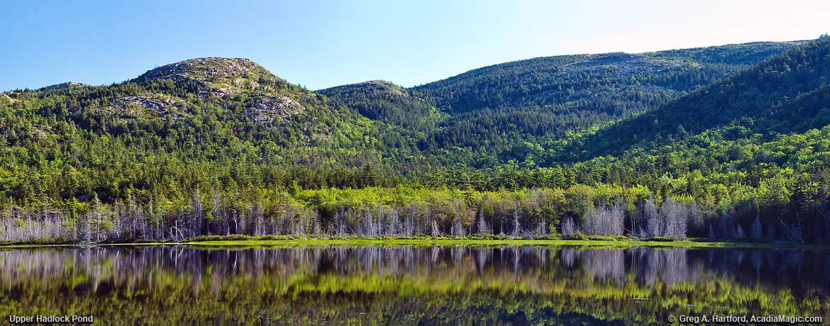
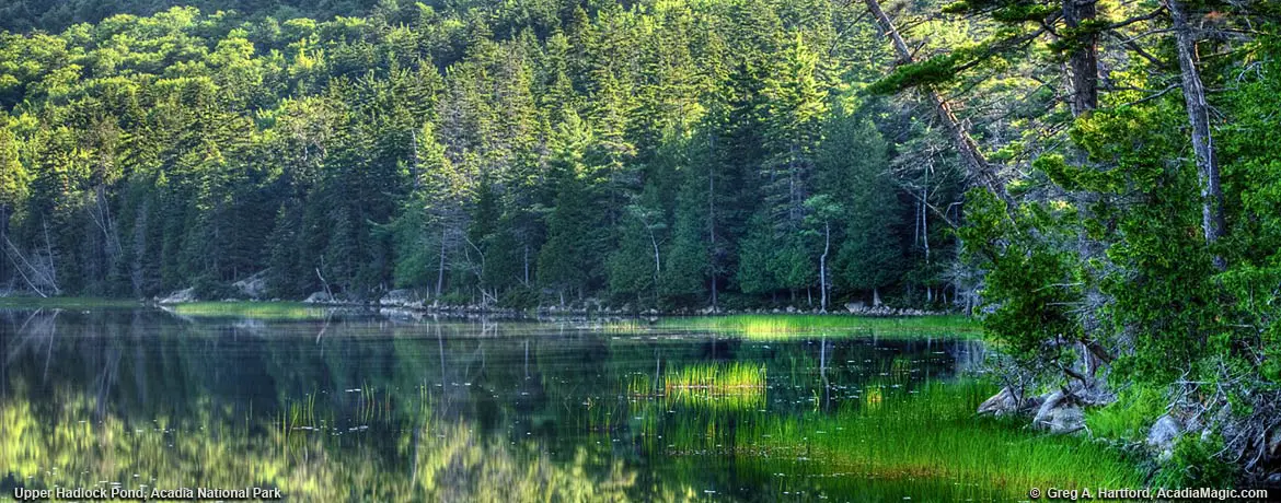
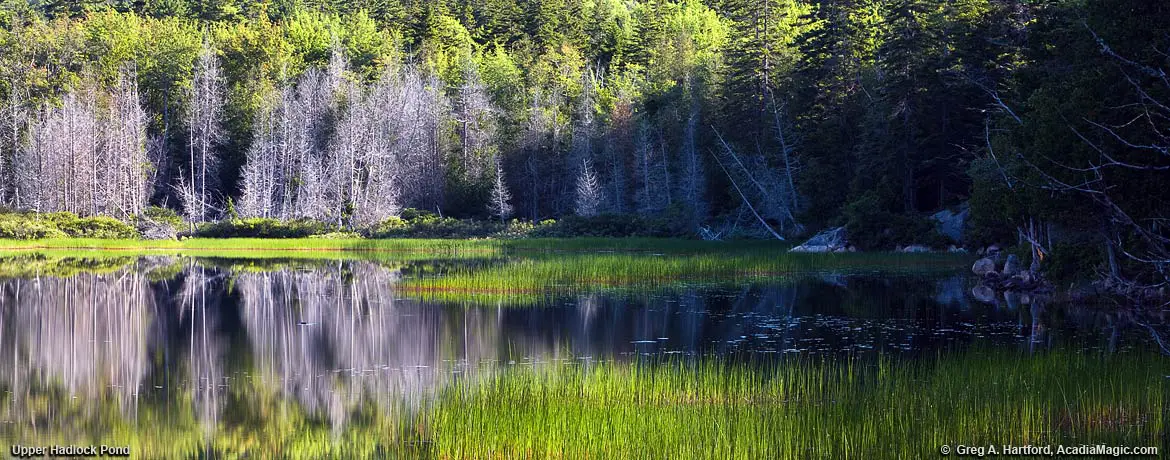
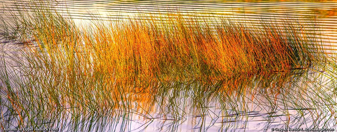
Upper Hadlock Pond is located on the east side of Route 3 just north of Asticou Azalea Garden in Northeast Harbor on Mount Desert Island, Maine. This lovely 35 acre pond has a nice hiking trail along the southern and eastern shoreline that eventually intersects one of the carriage roads before moving onto 974 foot (297 m) Bald Peak. There is also a stone carriage road bridge to the northeast at Hadlock Falls.
GPS: 44.319781, -68.288901
Location & Details
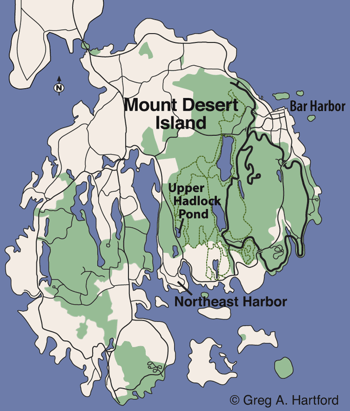
The following map shows the location of Upper Hadlock Pond in relation to Northeast Harbor on Mount Desert Island
Shoreline depths can range from 5 - 17 feet. The deepest part, at 37 feet, is just south of the approximate center of the pond. It is closed to pets in water, swimming, windsurfing, and SCUBA diving. Canoes or kayaks may be used. Motors over 10 horsepower are prohibited.
Upper Hadlock Pond is known for brook trout and is stocked on a fairly regular basis. An occasional brown trout is possible. There is a daily bag limit of 2 trout with a minimum length of 12 inches. Only one may exceed 14 inches.
An extended season exists from October 1 - 31 but all fish caught must be released alive at once. Only artificial lures are allowed.
Southern pull-off GPS: 44.318360, -68.287979
GPS for hiking path on north side: 44.325802, -68.291238
Stats & Facts
- Fish: Brook Trout
- Restrictions: Motors over 10 horsepower prohibited
- Maximum Water Depth: 37 Feet
- Fishing Information
- Fishing Details
- Maine Department of Inland Fisheries: (207) 434-5925
Wildlife Division: (207) 434-5927
- National Park Service:
Phone: (207) 288-3338
Fishing Licenses may be purchased at the following locations:
- Northeast Harbor Municipal Building: (207) 276-5531
- Southwest Harbor Municipal Building: (207) 244-5404
- Bar Harbor Municipal Building: (207) 288-4098
Beautiful Pond & Nearby Stone Bridge
There is a small place one may park at the southern end of the pond. However, the larger parking area is at the north end on the eastern side of Route 3 & 198. This one provides a more direct and quick access to the Carriage Road. If you park at the southern end, you can access the hiking trail that goes on the pond’s eastern side that eventually intersects one of the Carriage Roads to the North. To the northeast is Hadlock Falls and a gorgeous stone Carriage Road Bridge. As a crow flies, it is about .6 miles from the highway. Actual walking distance along the winding carriage roads to the falls is about .9 miles.