Somes Sound, Mount Desert Island
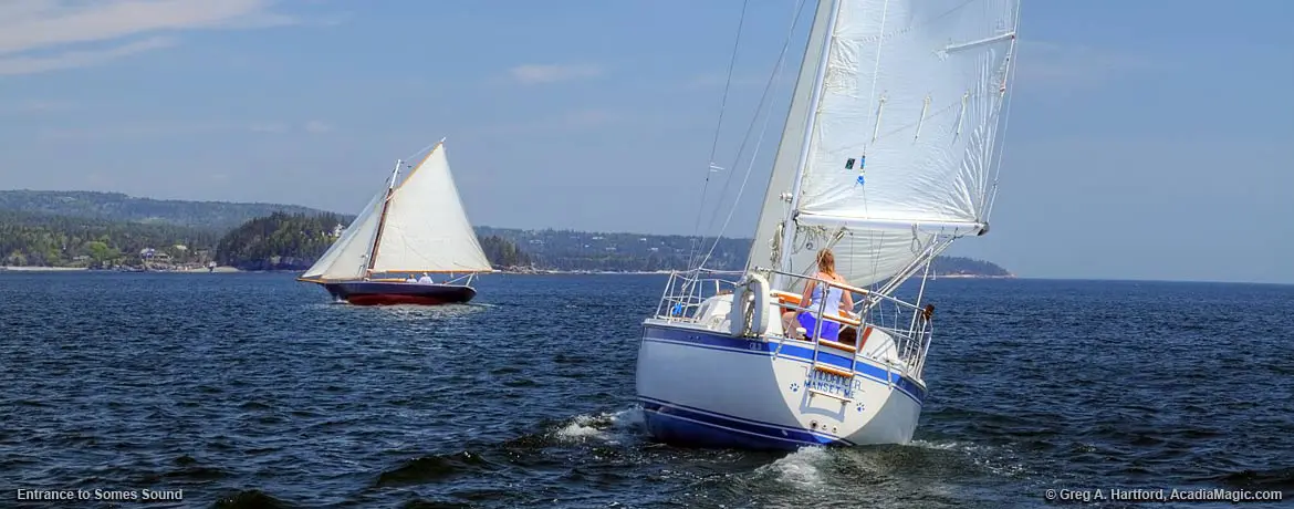
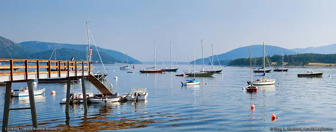
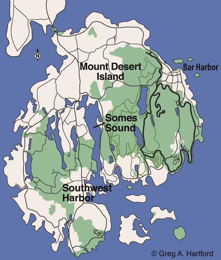
Somes Sound is a large and deep body of water located in the lower mid-section of Mount Desert Island, Maine, whose cavity was formed from past glacier activity. Gigantic continental glaciers shaped the land to have a noticeable “North-South” orientation seen with so many of the ponds and lakes on MDI. For centuries, mariners have taken advantage of it’s naturally protected waters, especially during storms. Several places are measured at over 100 feet (30 m) with the deepest point being approximately 175 feet (50 m). In the past, Somes Sound was described as a “fjord” and the only one of its kind on the East Coast. In recent years, this description has been somewhat downgraded to the “fjard” because it lacks the extreme vertical topography and the oxygen deprived sediments as the Norwegian fjords.
What is here?
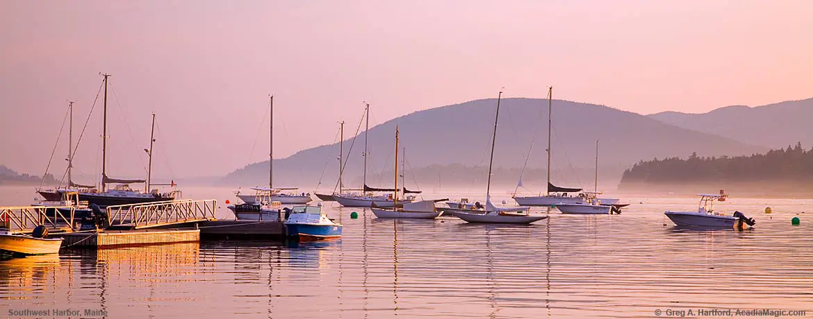
Villages along the shore of Somes Sound include Somesville on the northern end, Northeast Harbor on the southeastern side, and Southwest Harbor, including the area known as Manset, on the southwestern side. From here, the waters surrender to the North Atlantic at the Bear Island Lighthouse, marking the southern entrance and exit of this unique geological feature. (View panoramic.)
The natural protection that Somes Sound provided to early visitors to Mount Desert isloand played a significant role in the success of those early settlements. The first was at the north end in what became known as Somesville. To lean more about this history, visit the Somesville, Maine page.
Refer to the Activities page for information on boat and kayak rental companies. The Manset section of Southwest Harbor is a well known boat building and fishing community that has some good rental options at a great location.
GPS Coordinates
- Southwest Harbor Town Center:
Main St. and Clark Point Rd.: GPS 44.279767, -68.325914 - US Coast Guard Office:
184 Clark Point Rd., (207) 244-4200: GPS 44.275381, -68.312349 - National Park Headquarters:
Rt. 233 Eagle Lake (207) 288-3338 : GPS 44.409286, -68.247501
General Information
- Southwest Harbor Town Office::
26 Village Green Way (207) 244-5404 - Southwest Harbor Vacation Rentals
- Churches & Synagogues for Mount Desert Island area
- Golf Courses in the area
From the Oceanside
 This is definitely a seafaring community. It is in its history and runs deep in the blood lines. The experience of Acadia National Park is in many ways only truly realized or experienced until one becomes familiar with the sea. This is a great place to start. If you already are experienced with boats and navigation, consider renting a yacht in the Manset section of Southwest Harbor. Otherwise, take advantage of some available Captain Services. Let the assigned and experienced Captain take care of things so that you may enjoy your time even more. You will also get to hear some great stories along the way.